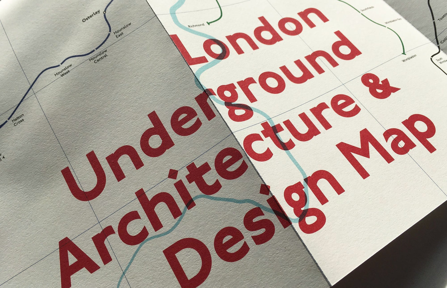
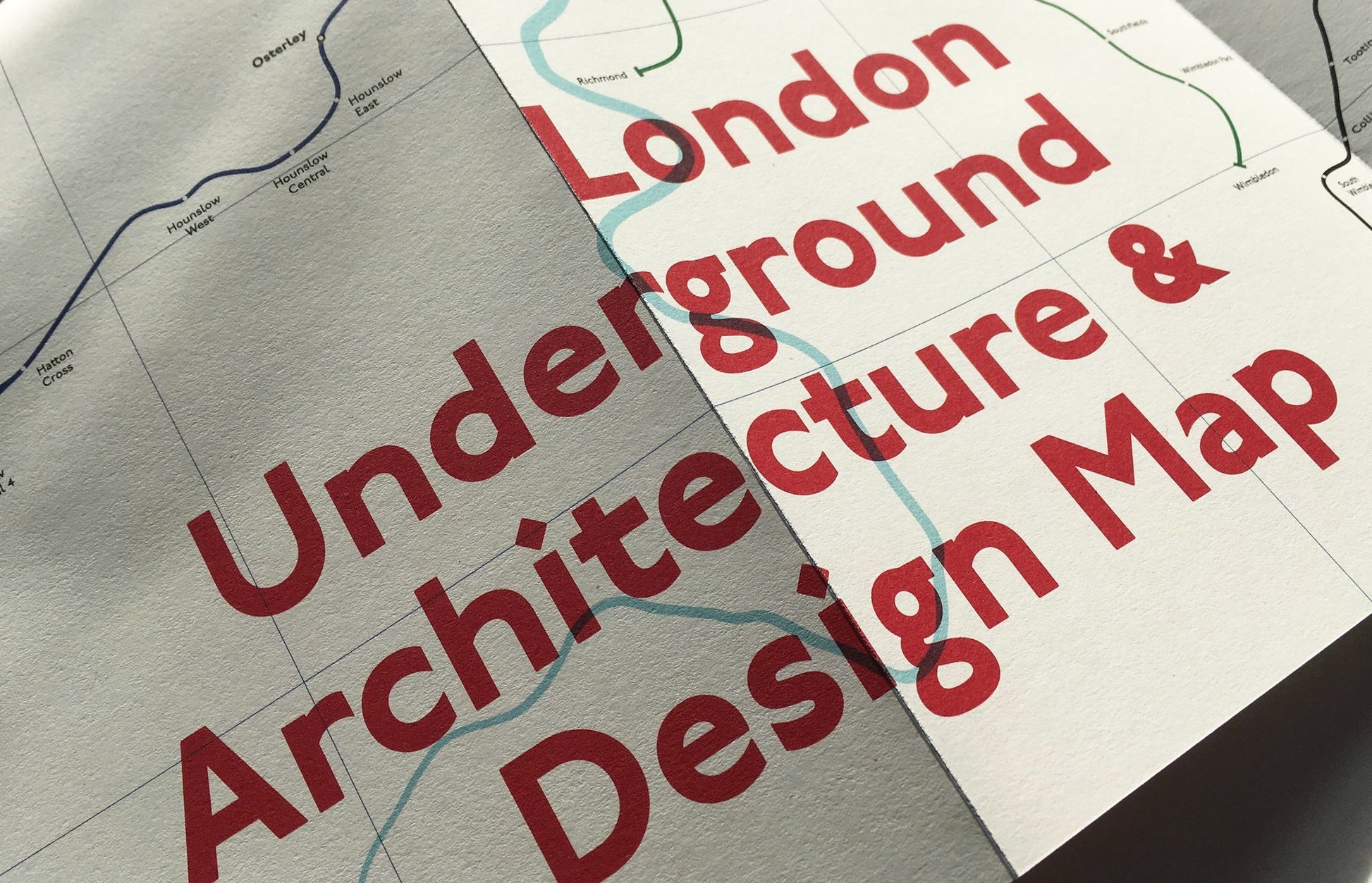


London Underground Architecture & Design Map
London Underground Architecture & Design Map
Couldn't load pickup availability
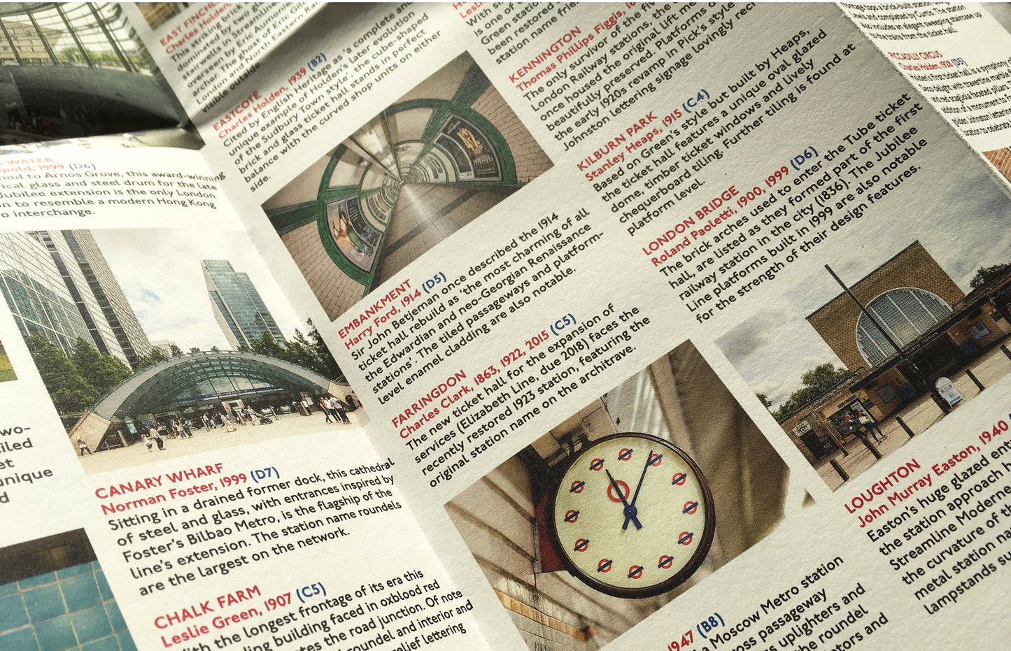
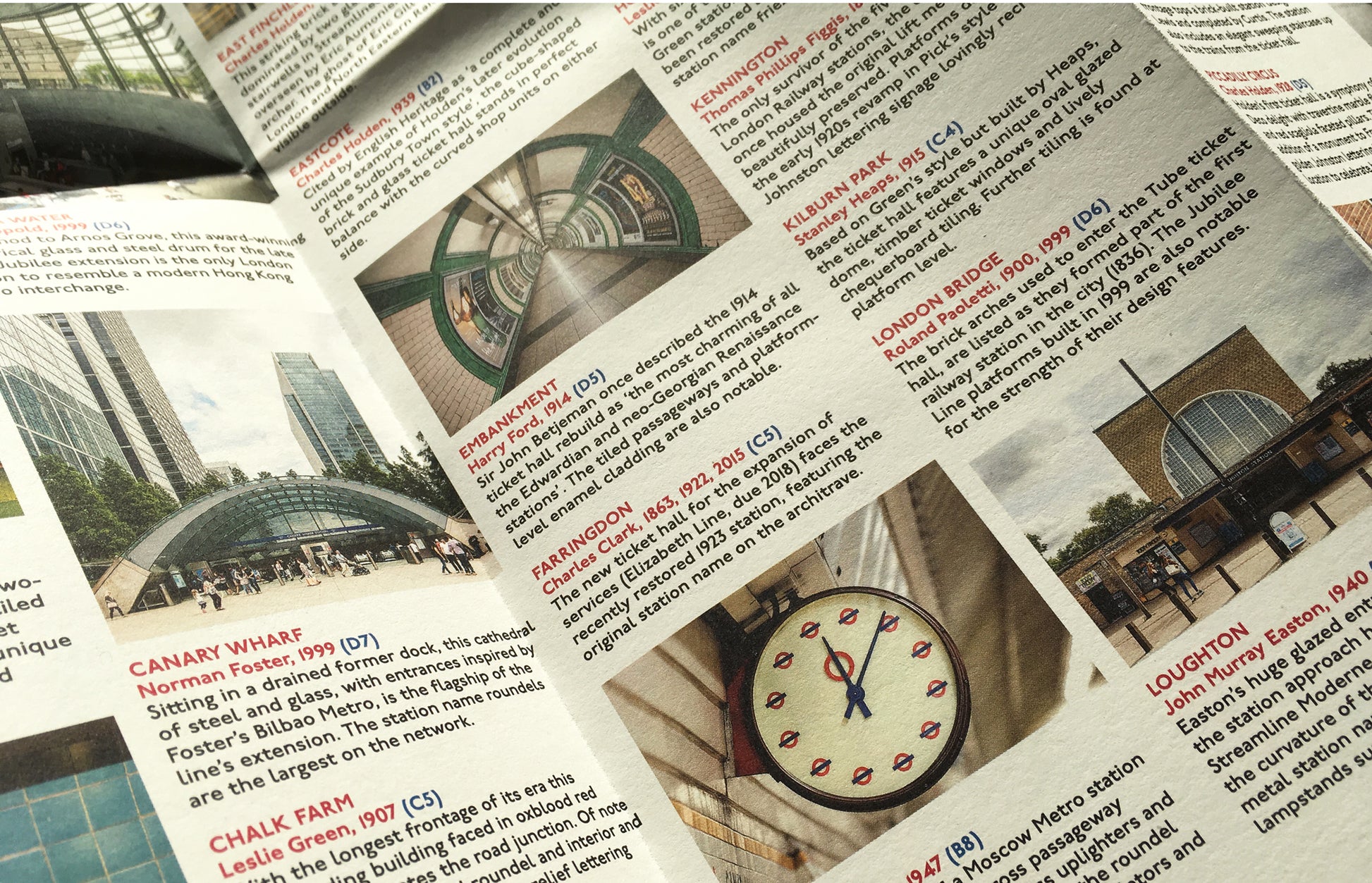
Part of our series of maps dedicated to public transport systems, our London Underground Architecture & Design Map is now available. Curated by transport design historian and broadcaster Mark Ovenden, with photography by Will Scott, this two-sided cartographic guide is an original, authoritative and fascinating insight into architecture and graphic design for transport lovers, students of design and anyone interested in the history of London.

This map is also available as part of our set of London maps here.
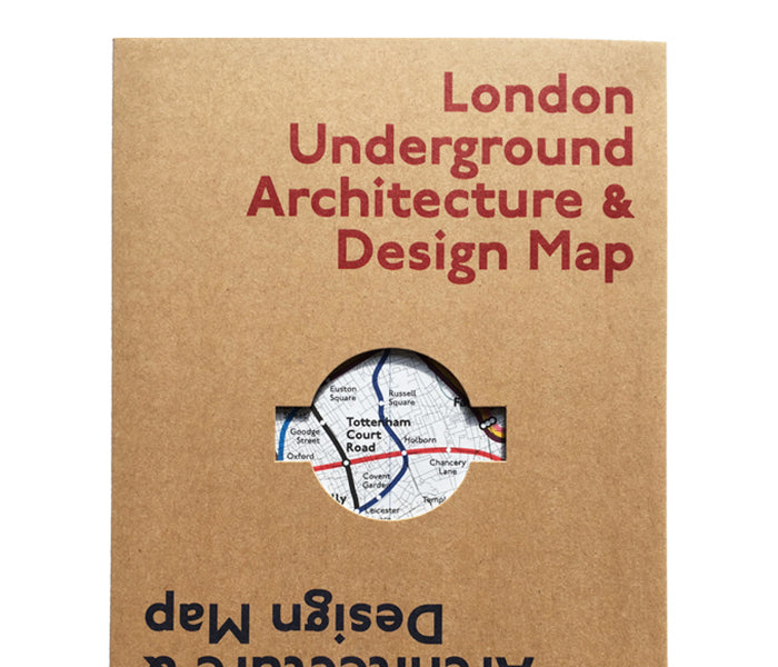
The guide includes a geographical Underground map with featured stations marked, with corresponding photography and details on the reverse along with tips for where to find unique and unusual signage, roundels, clocks, murals and more. The map is protected by a slipcover featuring a distinctive die cut roundel.
Named by the Financial Times as one of the 'Best books of 2018'.
The map opens to 420 x 594 mm (16.5 x 23.4 in) and folds to (148 x 210 mm 5.8 x 8.3 in). It is protected by a Kraft slipcover.
Other titles in this transport series include:
Berlin U-Bahn Architecture & Design Map
New York Subway Architecture & Design Map
Paris Metro Architecture & Design Map
Purchase the set of transport maps at a discount here.