Modern Amsterdam Map / Kaart van Modern Amsterdam
Modern Amsterdam Map / Kaart van Modern Amsterdam
Couldn't load pickup availability
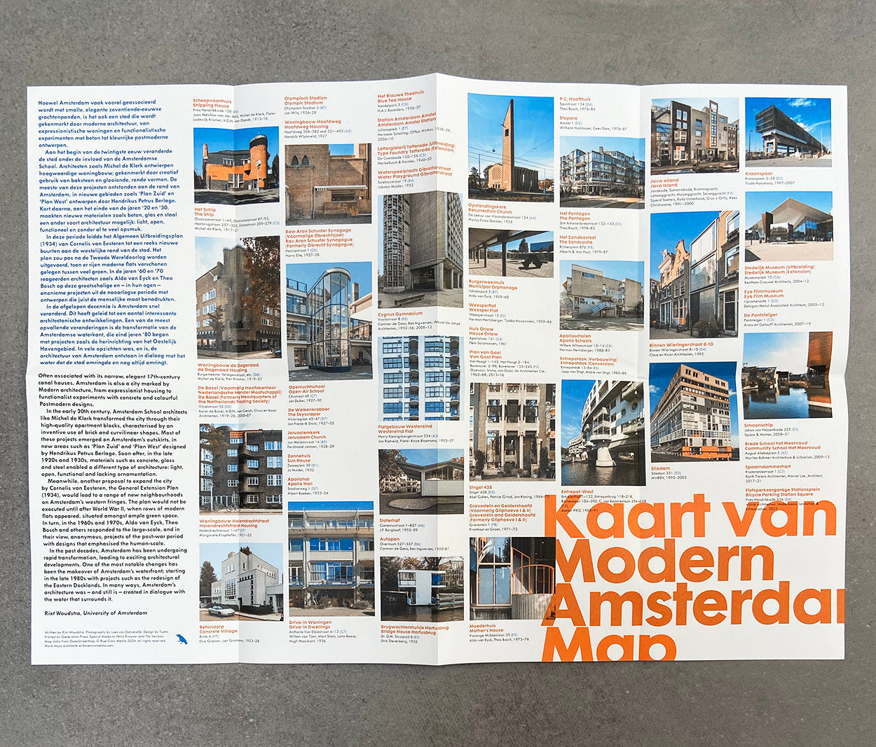
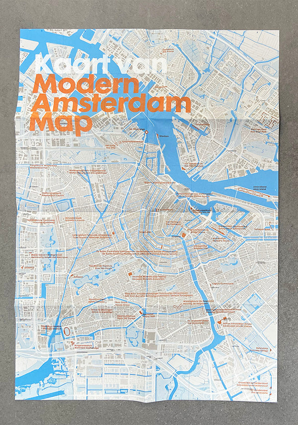
Our Modern Amsterdam Map / Kaart van Modern Amsterdam documents the city’s finest 20th century architecture from expressionist Amsterdam School housing to ambitious urban expansion plans and the more recent docklands redevelopment. The map pinpoints 50 locations with selected original photography, an introduction and descriptions by Rixt Woudstra, assistant professor of architectural history, University of Amsterdam, and original photography by Loes van Duijvendijk.
Purchase our complete set of 30+ European maps at a discount here.
The architecture map charts the urban growth of Amsterdam, the capital and most populous city of The Netherlands, into the vibrant modern city it is today. The port city’s 17th century canal ring and revered gabled housing was an example of innovative and cohesive town-planning for its time. Yet the 20th century saw humanistic urban expansions in brick and concrete inspired by the Modern movement and the redevelopment of the city’s waterfront and docklands with innovative conversions of old buildings and insertion of bold new cultural and commercial structures by the likes of leading Dutch architects such as MVRDV and Benthem Crouwel in the early 21st century. It is this layering of history, Modernism and contemporary architecture and urban planning that contributes to its success as an attractive, human and creative city.
As with all of our maps, this title is printed on recycled FSC-certified paper in the UK by a carbon-neutral, family-owned printer. The map opens to A2 (420 x 594mm, 16.53 x 23.39 inches), folds to A5 (148 × 210mm or 5.83 × 8.27 inches) and is protected by a band.
Deze kaart toont de meest bijzondere Amsterdamse architectuur uit de twintigste eeuw, van functionalistische woningbouw tot ambitieuze stadsplannen, inclusief een inleiding van Rixt Woudstra en originele foto’s van Loes van Duijvendijk.
Share
