Modern Istanbul Map / Modern İstanbul Haritası
Modern Istanbul Map / Modern İstanbul Haritası
Couldn't load pickup availability
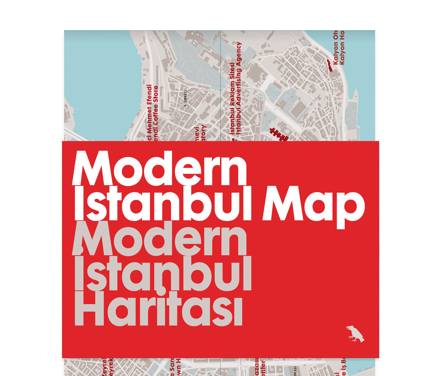
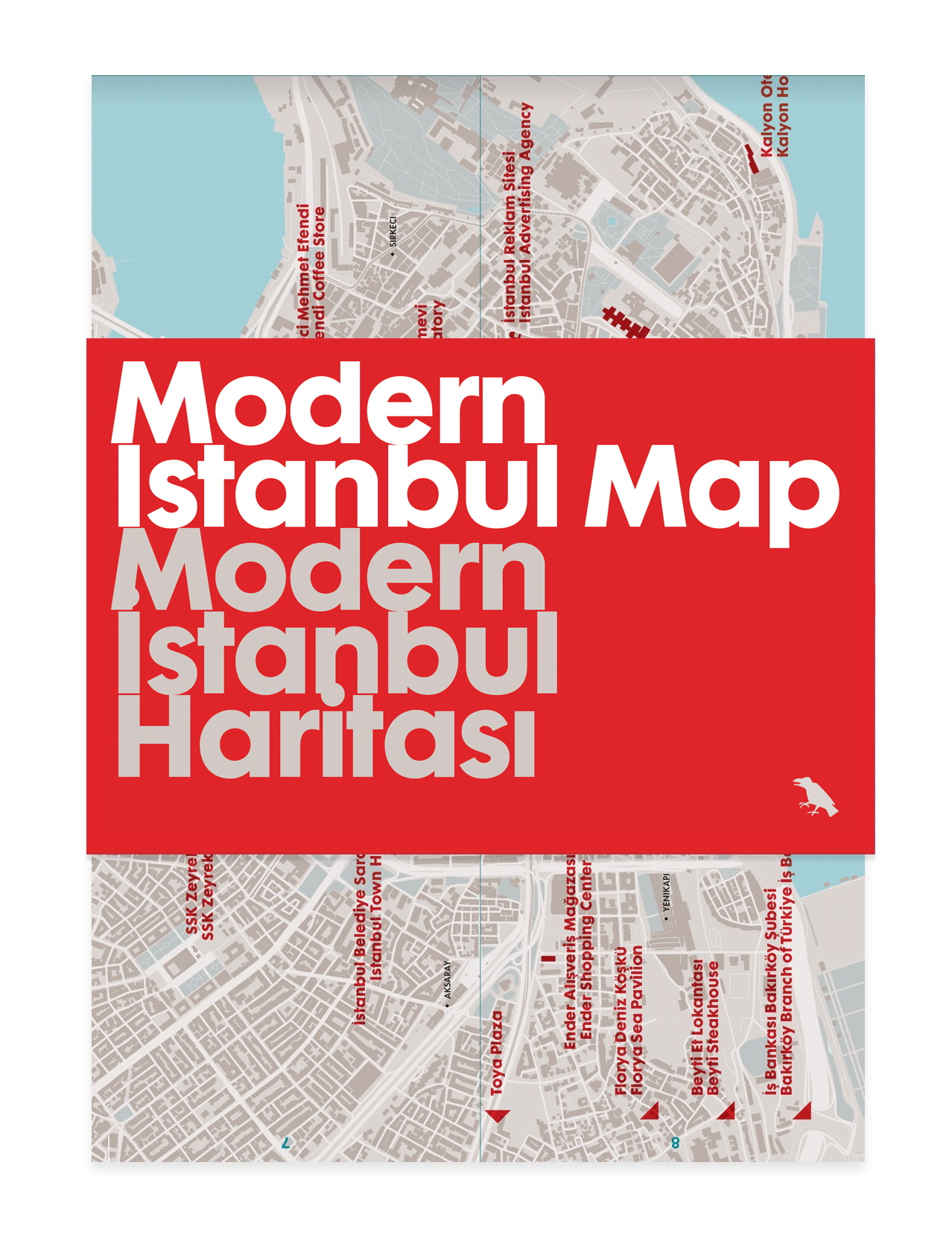
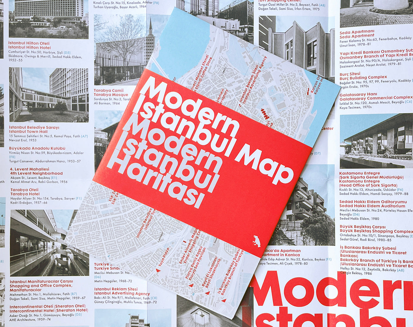
Explore extraordinary examples of Modern architecture built across Istanbul with this two-sided bilingual map. Featuring over fifty buildings, this guide includes an introduction and research by Özlem Balcı Öztürk and original photography by Hacer Bozkurt.
The map has been printed in a limited run.
Modern Istanbul Map / Modern İstanbul Haritası is also part of our discounted set of European maps here.
Modern Istanbul Map / Modern İstanbul Haritası covers an incredible selection of buildings between 1930 and 2010. Istanbul, a culturally and historically layered city, defined by its intercontinental location between Europe and Asia, is host to numerous 20th century architectural styles – including a uniquely regional strain of Brutalism.
The buildings featured on the map tell the story of a country modernising at great speed: from the Bauhaus-influenced early Modernism in the 1930s including the Ragıp Devres Villa and the Atatürk-commissioned Florya Sea Pavilion; through the large-scale buildings of the 1940s and 50s such as the Istanbul University Faculty of Science and Literature and the Hilton Hotel. From the 1960s to 90s, further political democratisation in Turkey encouraged a unique blend of Rationalism, Brutalism and Regionalism: as seen at Manifaturacılar, the layered shopping and office complex featuring decoration by prominent Turkish artists. Finally, after the 1980s, Postmodernism was embraced by an increasingly active private sector; notably in the E House of 1994.
Each building on this map, covering multiple generations and genres of architecture, is its own chapter in the fascinating social, economic and cultural history of modern Istanbul.
The map is printed by a B-Corp certified printer in the UK on quality recycled paper using vegetable-based inks to minimise its environmental impact. The map opens to 420 x 594mm, and folds to 210 x 148mm.
Share


